iPhone & iPad app for GA pilots

Stop guessing.

Your airplane. This runway. Today's weather.

TLAR runs a physics model of your airplane once every second and shows your takeoff, climb, cruise and landing performance, live. Green, yellow or red tells you whether it's going to work.

Free to download · Pro and Expert unlock more · iPhone XS or newer, and iPad

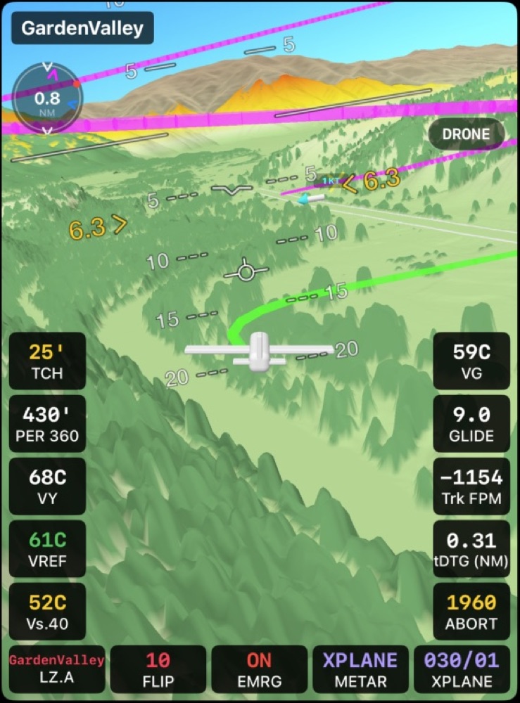
TLAR Vertical Profile and 3D Terrain tiles at a backcountry strip
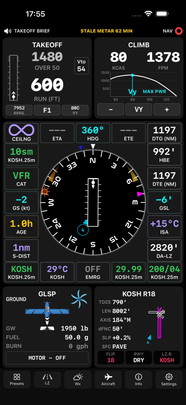
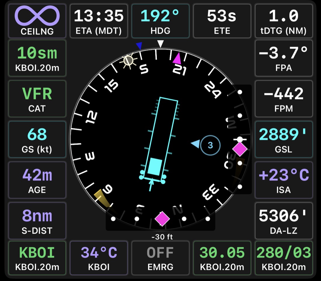
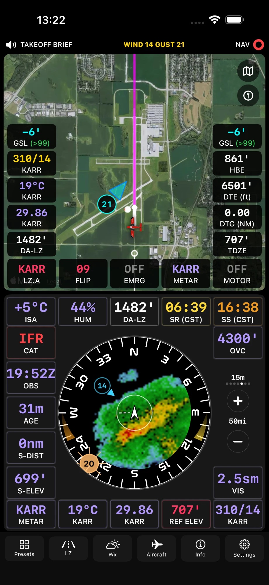
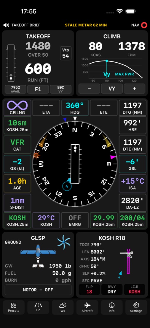
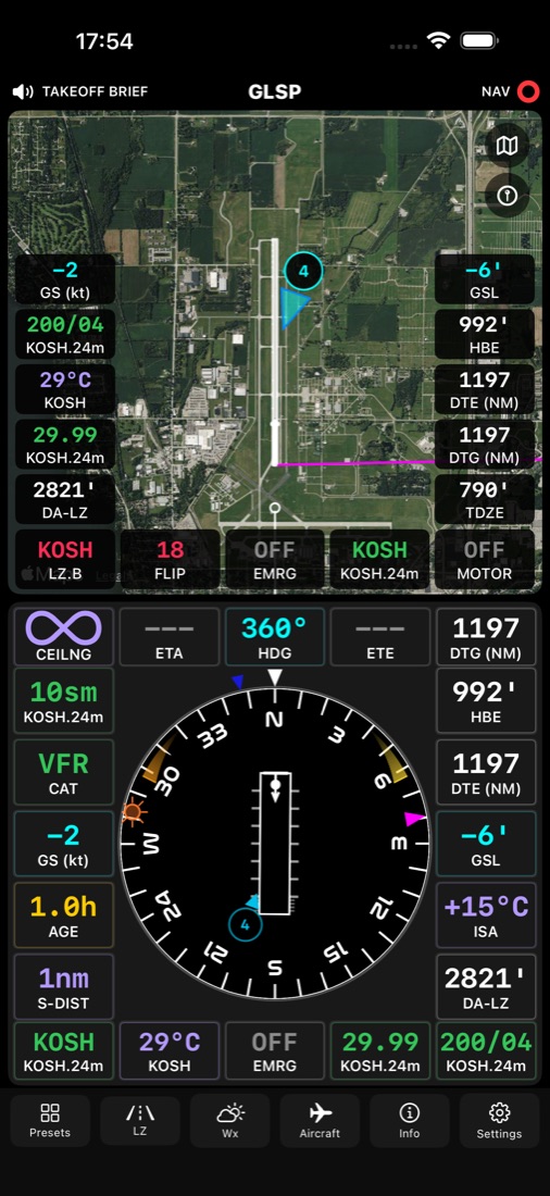
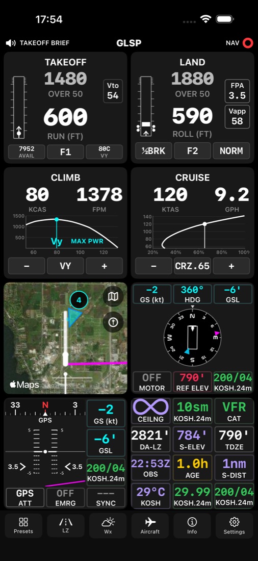
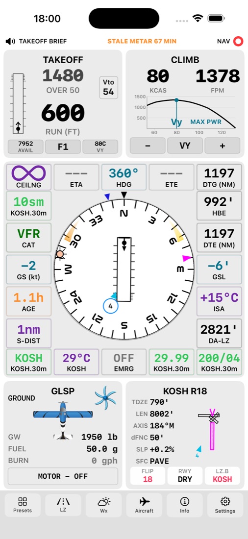
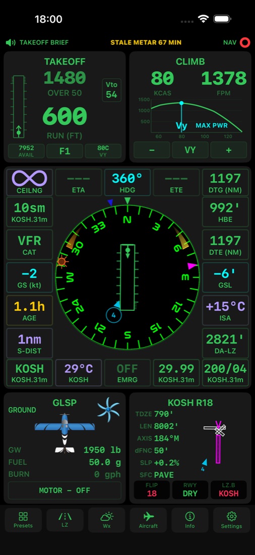
TLAR tile dashboard with Takeoff, Climb, HSI, Aircraft and Runway tiles
Takeoff run600 ft
Over 50 ft1,480 ft
Climb80 KCAS · 1,378 fpm
Scroll
Why TLAR

Past the edges of the POH chart.

POH charts cover a handful of conditions, and some handbooks barely cover those. TLAR models the forces on your airplane (lift, weight, thrust and drag), so it can predict performance between and beyond the published numbers, using your weight, today's weather, and the runway's real length, slope and surface.

40aircraft models
30,000+airports worldwide
20dashboard tiles
0bytes of your data collected
Every phase of flight

One app. Wheels-up to tie-down.

3D view of an engine-out glide route back to the runway
Emergency Glide · Expert

Planning for the worst.

TLAR's Expert version will display predicted turnback capability and allow you to rehearse it before takeoff so you are prepared. TLAR will then monitor your departure and update turnback predictions in real time, vastly increasing your situational awareness.

See how it works →
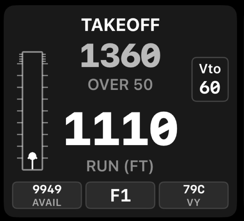
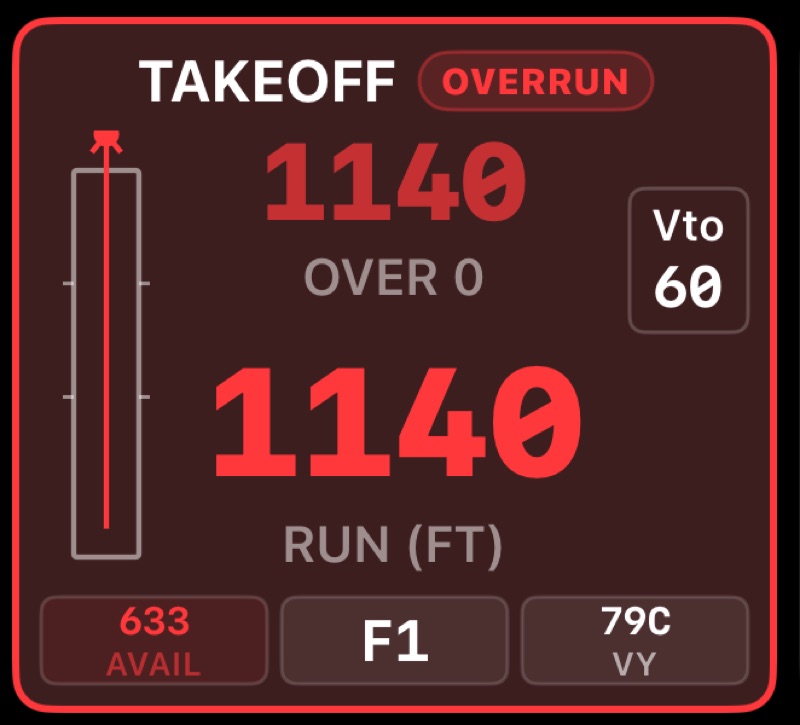
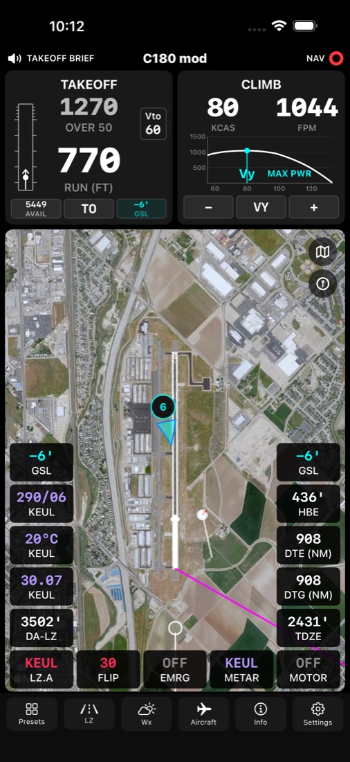
Takeoff tile showing distance over 50 ft and ground run
Takeoff

Ground run and distance over the fence

Live takeoff numbers for the runway you're on, with a to-scale runway graphic and your liftoff point.

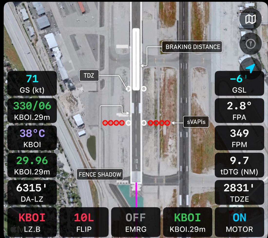
Map tile with landing fence shadow, touchdown zone and braking distance
Landing

Fence shadow, touchdown zone, braking

Your landing drawn right on the runway, plus runway-side sVAPI glidepath cues.

HSI tile with the runway drawn on its true axis
HSI

Your runway, oriented to you

The runway is drawn at its true axis on the compass rose, with wind, solar markers and your landing geometry.

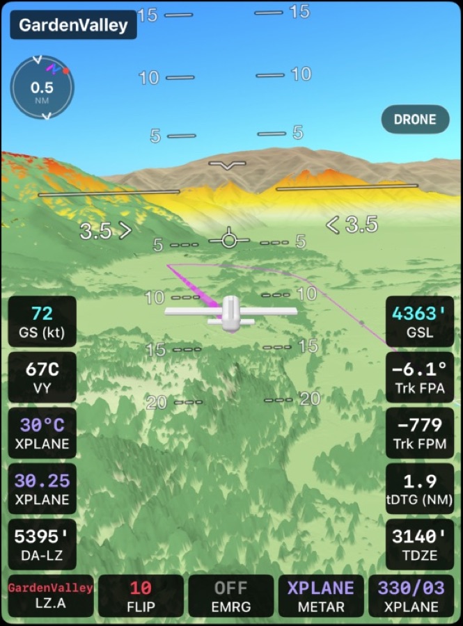
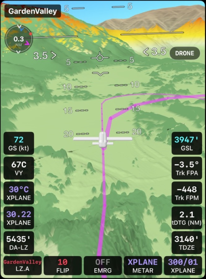
3D Terrain tile in chase view on approach
3D Terrain

Fly the approach before you fly it

Drone, chase and first-person views over real terrain and trees, with your flight path drawn in.

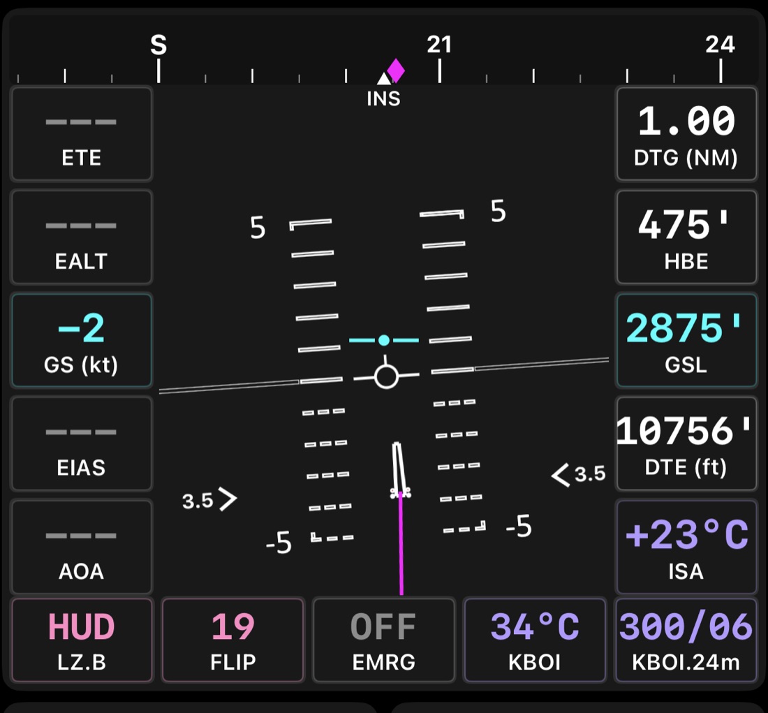
HUD tile with pitch ladder and landing zone projection
HUD

Heads-up guidance to the LZ

Heading tape, pitch ladder, flight path marker, FPA chevrons and a projection of your landing zone.

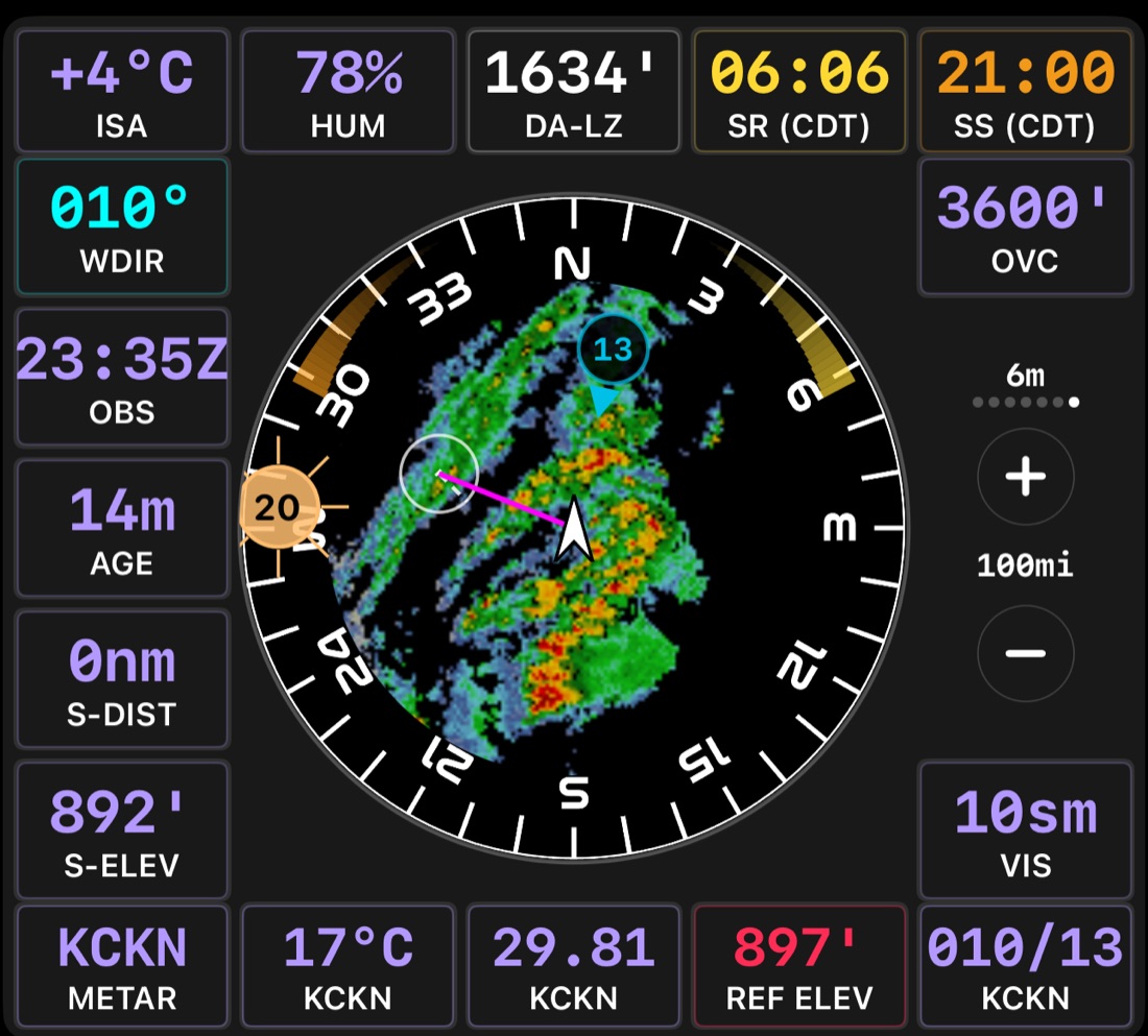
Weather tile with NEXRAD radar, wind and sun position
Weather

Wind, radar and sun, at a glance

Live METAR wind, an animated NEXRAD overlay in the USA, and where the sun will be when you arrive.

The hangar

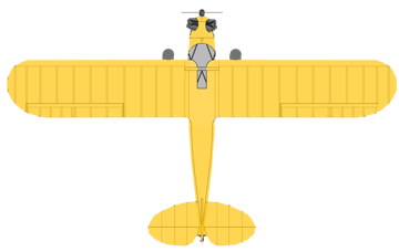
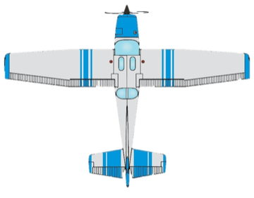
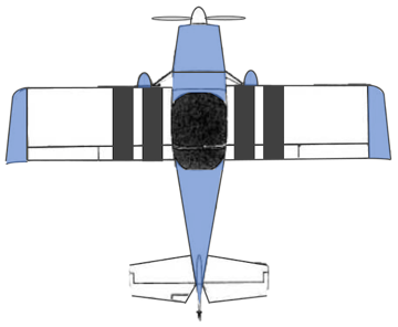
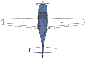
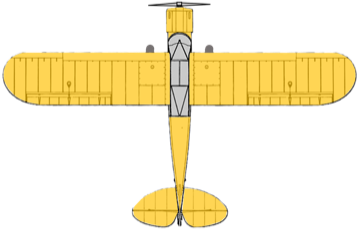
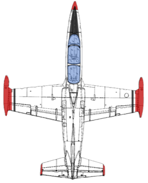
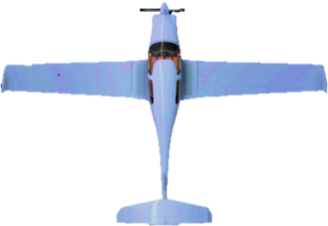
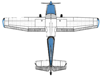
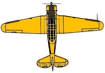
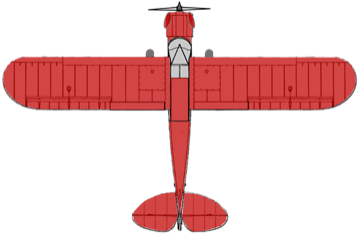
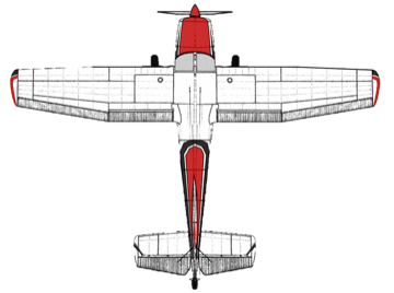
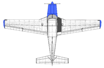
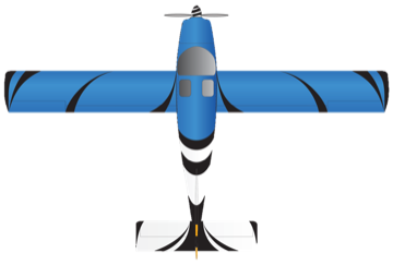
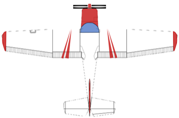
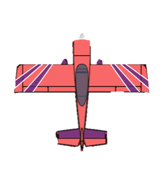
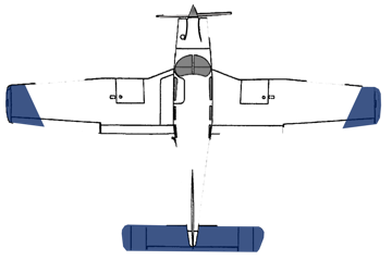
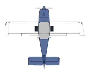
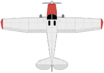
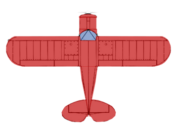
40 airplanes, from Cubs to an L-39.

Trainers, backcountry taildraggers, homebuilts, a warbird and one jet. Don't see yours? Expert subscribers can build their own model. See the full list →

Piper J-3 Cub
Cessna 172
Van's RV-7
Cirrus SR22
Piper PA-18
Aero L-39
Diamond DA40
Cessna A185F
Kitfox 7
Van's RV-10
Mooney M20F
Super Decathlon
T-6G Texan
CubCrafters FX
Cessna 180K
Van's RV-8
Piper PA-24
Glasair Sportsman
Cessna 150
Harmon Rocket II
Piper PA-28-181
Van's RV-14A
Cessna 170B
Piper PA-22
Van's RV-4
TLAR Expert · Emergency Glide

The engine just quit. TLAR already knows where you can land.

Turn back, land straight ahead, or go off field? TLAR works that out for your airplane, at your weight, in today's wind, at least once every second, and checks the glide against real terrain and trees.

Live 3D view: a green glide route curves back to the runway, threshold crossing height 25 feet
Turnback possible. A green, terrain-checked route curves back to the runway. TCH shows you'd cross the aimpoint 25 feet up.
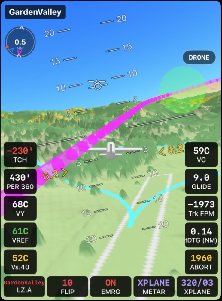
Live 3D view: cyan glide footprint drawn on the terrain, threshold crossing height minus 230 feet
Off field. The runway is out of reach, so TLAR draws a cyan footprint on the terrain: everywhere your glide can get to.
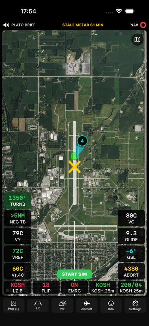
Ground planning view with TURNB and NEG TB altitudes 01 · PLAN IT ON THE GROUND

Know your turnback altitude before you roll

TLAR models your departure out to 5 NM using your climb profile and current conditions. A yellow X marks the last point you can still stop or land straight ahead. A green dot marks where a turnback first becomes possible, with its altitude, and a red dot marks where it stops being possible.

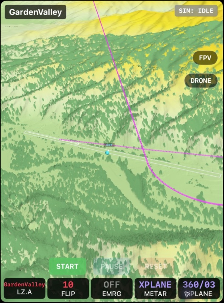
3D Terrain simulation ready to start, with START, FPV and DRONE controls 02 · REHEARSE IT

Fly the departure, then pull the engine

Emergency Sim and the 3D Terrain tile fly your planned departure through the real terrain. Tap TURNBACK to play the engine-out return and see where it ends. It's more than an animation: the simulated airplane runs through TLAR's calculations, so your other tiles respond too.

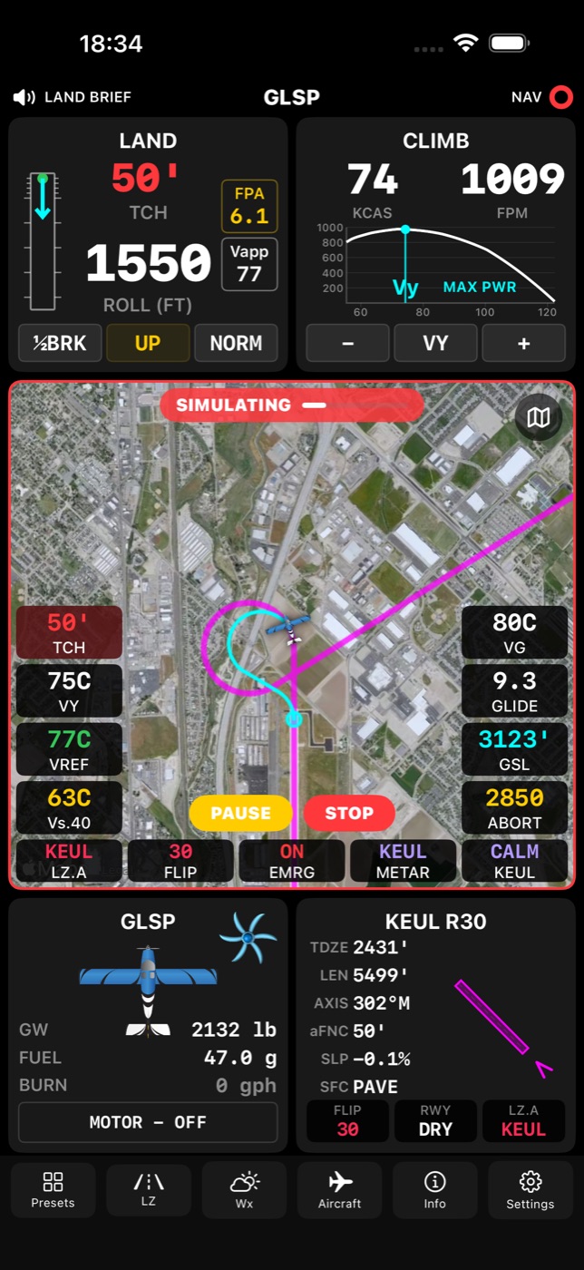
Map showing a computed turnback route during a simulated departure 03 · FLY WITH IT ARMED

A live answer, all the way to cruise

In flight TLAR stops assuming and uses where you actually are. The Land tile shows AHEAD when the runway in front of you will do. Otherwise you get a route with its crossing height, or the footprint, and a spoken “Turnback possible” or “Off field.” It works in cruise as well as after takeoff.

Decision support, not a guarantee. A turnback is inherently dangerous, and in most cases the safest choice is to land on the most suitable surface ahead of you. TLAR doesn't consider airspace or traffic. Its answer is only as good as the aircraft, weather and runway data you give it.

Included with TLAR Expert
Flight tested

A real turnback test, with TLAR on screen.

We fly what we build. This video is from a test flight at Caldwell, Idaho (KEUL), takeoff on runway 12, power to idle, 20° flaps to simulate windmilling propeller drag, turn back to runway 30. This test was flown using the legacy TLAR interface, replaced by the new tile-based interface. The aero is the same, the look and usability vastly improved!

Glasair Sportsman, 210 HP, 1,830 lb · Vy climb-out at 78 KCAS · Idle power, flaps 20° · Turnback and glide at Vref, 71 KCAS · Wind 050 at 12

Instant read

Green. Yellow. Red.

You don't have time to study numbers on short final. TLAR boils it down to the one thing you need to know.

Takeoff tile, normal result

GREEN

You'll clear the fence with your safety margin intact.

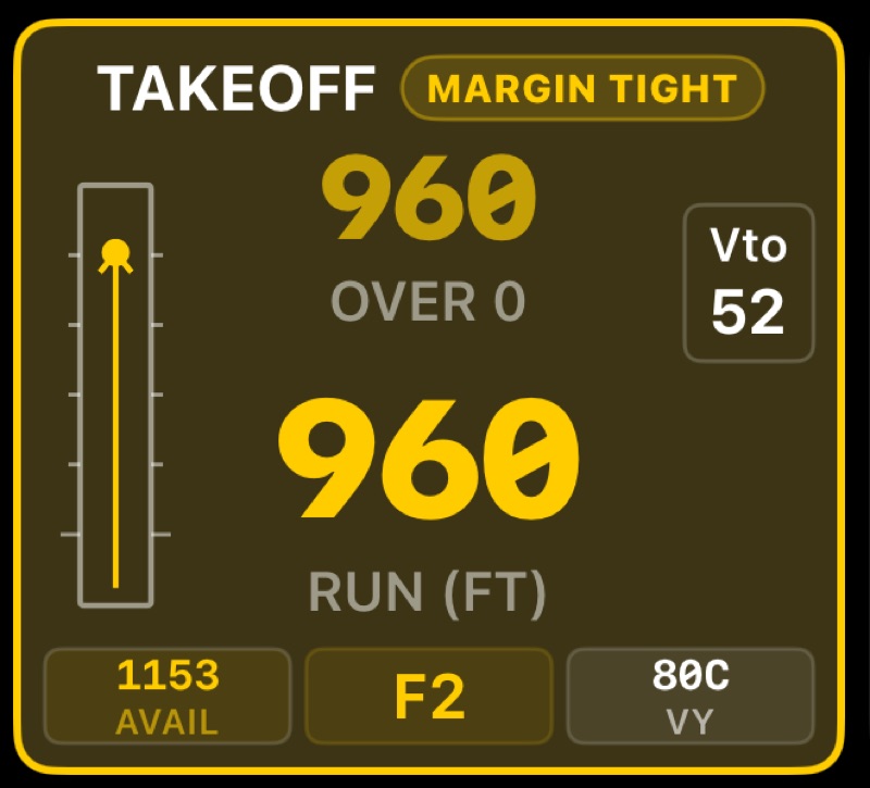
Takeoff tile showing MARGIN TIGHT

CAUTION

It fits, but not with the margin you asked for. The tile turns yellow and shows MARGIN TIGHT.

Takeoff tile showing OVERRUN

DANGER

The predicted takeoff distance is longer than the runway you have. Rethink it.

How it thinks

Built around the geometry that matters.

01 · TAKEOFF

Lineup to fence, with margin to spare

Ground run starts at your line-up point and ends at liftoff. TLAR adds the climb to your fence height, then checks the total against the runway and your safety margin. Turn on ASTOP and it adds accelerate-stop distance too.
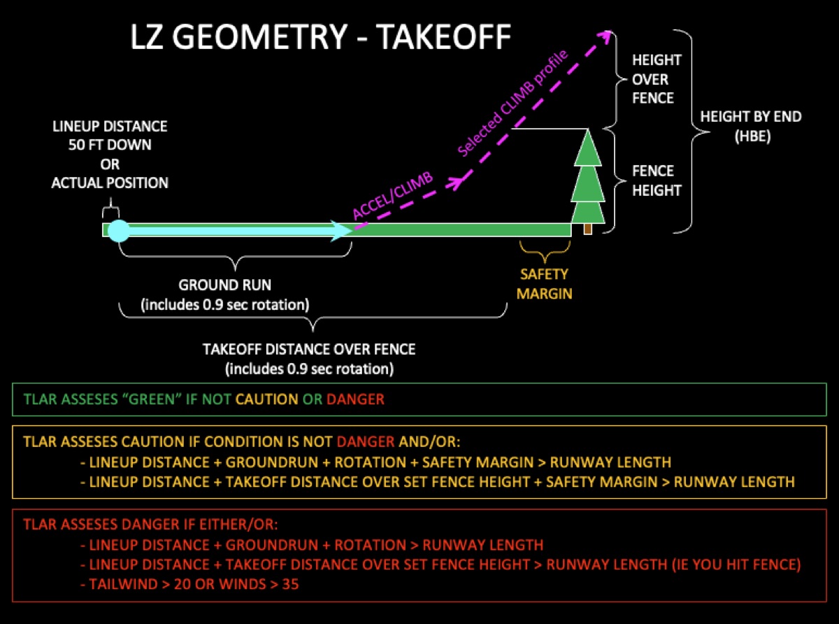
Takeoff geometry diagram
02 · LANDING

Stabilized, on speed, and stopped

Your flight path angle and fence height set the fence shadow. Then come the touchdown zone and braking distance, all checked against the runway with the same green, yellow and red logic.
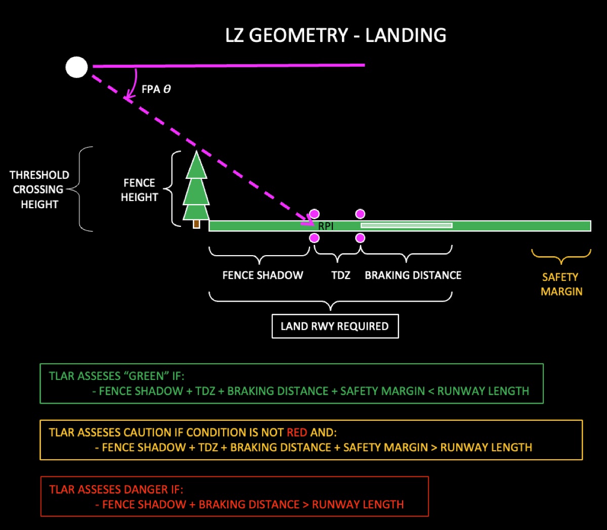
Landing geometry diagram
03 · THE BAD DAY

Turnback or straight ahead?

TLAR models where a turnback can make it back to the runway, and where it can't. The answer is waiting before you need it. See Emergency Glide →
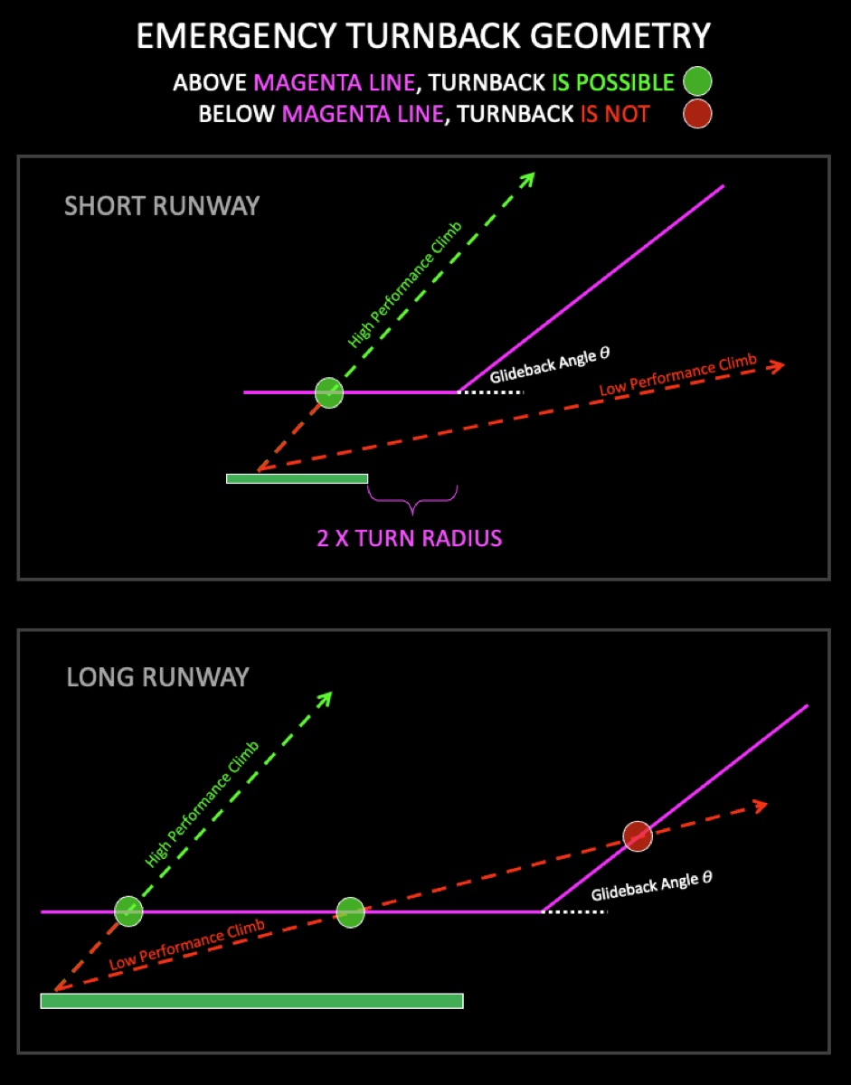
Emergency turnback geometry diagram
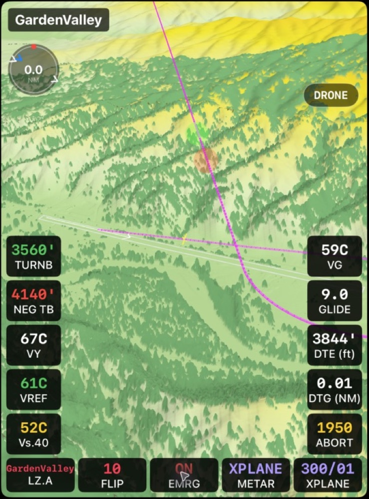
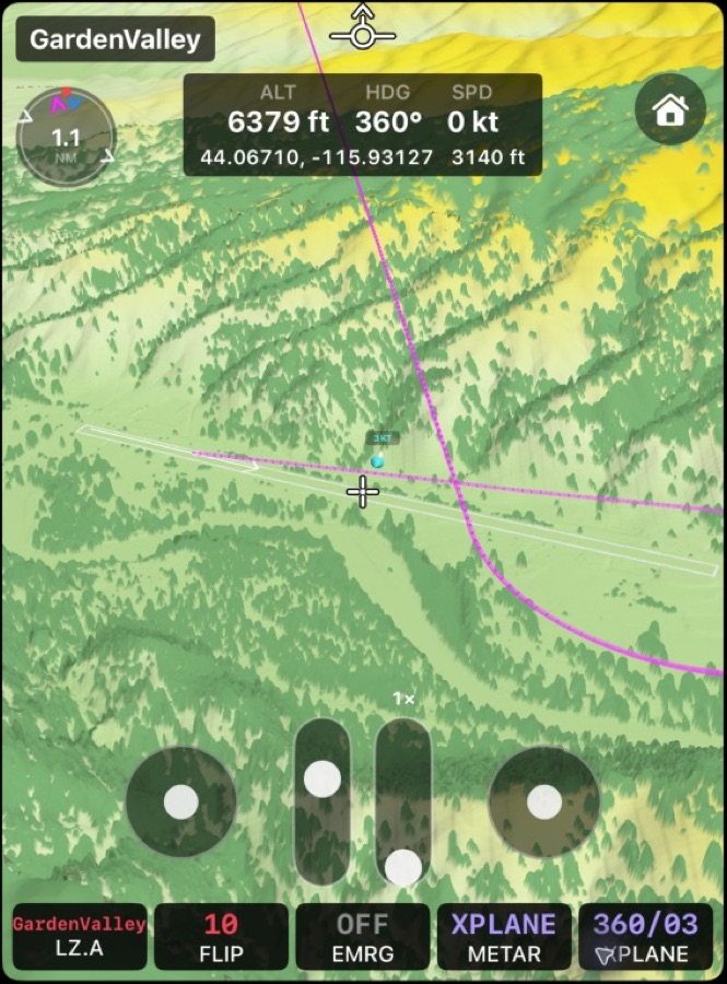
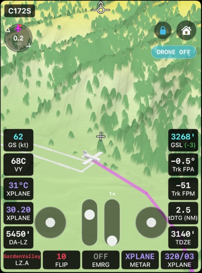
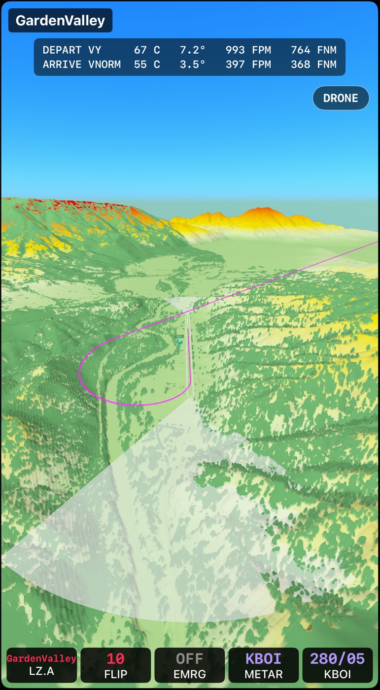
3D Terrain drone planning view at Garden Valley 3D Terrain chase view on a normal approach 3D Terrain live drone camera beside the aircraft
Terrain awareness

See the strip before you see the strip.

Download high-resolution terrain and tree data, down to 1-meter lidar, and TLAR scans beyond each runway end for anything that rises into your path.

  • Drone view: explore the area around a landing zone and rehearse the departure on the ground.
  • Live chase and first-person views in flight, with your arrival profile drawn in.
  • Obstacle analysis feeds AUTO Fence into your takeoff and landing numbers.
  • Terrain-aware emergency glide, drawn against the real ground.
TLAR ExpertVertical Profile3D TerrainX-Plane compatible
Map tile and Weather tile at KARR: live METAR wind, temperature and pressure, an IFR ceiling, and NEXRAD radar on the compass
Real conditions

Real runways. Real weather. Real airplanes.

  • Any runway, or your own strip: search 30,000+ airports, or build a custom runway three ways.
  • Surface and slope: paved, grass, gravel or snow, wet or dry, uphill or down.
  • Live METAR and most recent ASOS (within 5 minutes at some airports) from the station nearest you or your landing zone, or set it by hand.
  • NEXRAD radar overlay in the USA (Expert).
  • Your airplane's numbers: weight, fuel burn, horsepower, technique and glide ratio.
MyStrips · Custom runways

Not in any database? Build the strip yourself.

Ranch strips, gravel bars and backcountry airstrips don't show up in airport databases. TLAR gives you three ways to create your own runway, and then treats it like any other.

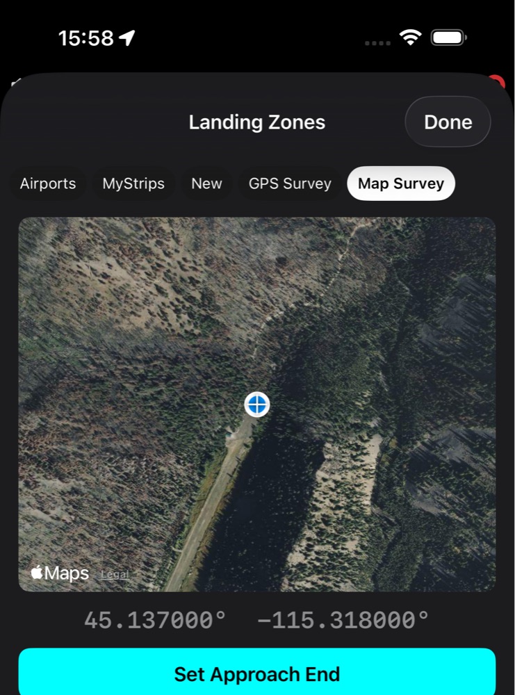
Map Survey: a crosshair on a satellite view of a backcountry strip with a Set Approach End button 01 · MAP SURVEY

Point at it on a satellite map

Put the crosshair on the approach end and tap Set Approach End, then do the same for the departure end. TLAR works out the runway's axis and length and looks up the elevation of each end when you're connected. You can build a strip from your couch the night before.

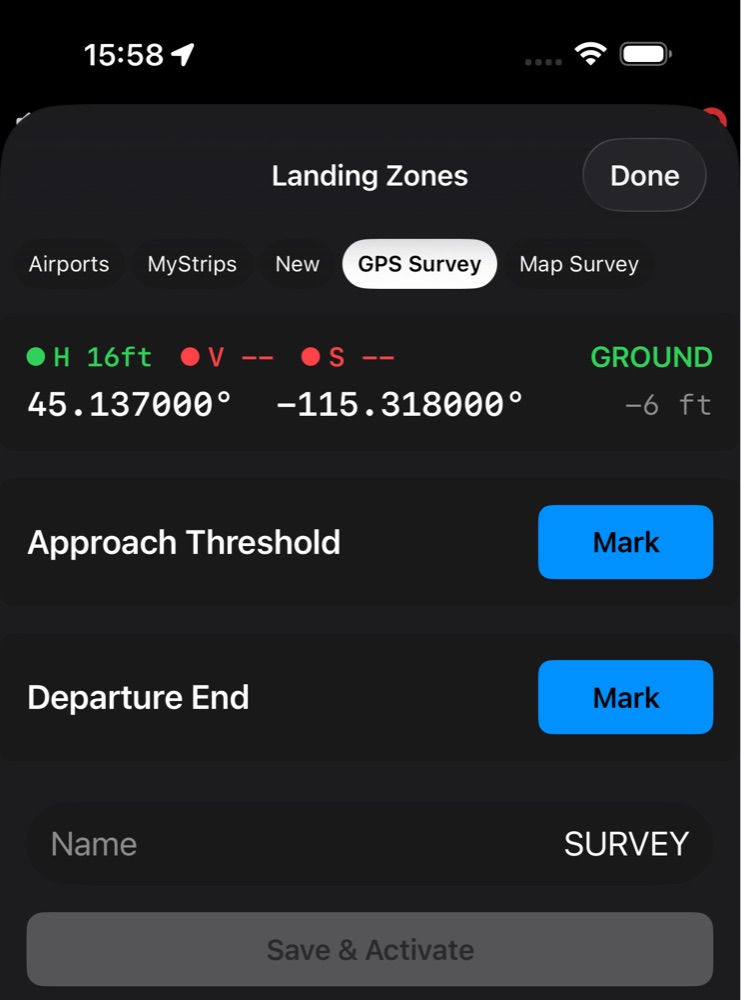
GPS Survey: Mark buttons for the approach threshold and departure end 02 · GPS SURVEY

Walk it, or fly over it

On the ground: stand at each end and tap Mark. TLAR computes heading, length, elevation and slope. From the air: pick a survey height (50 to 200 feet AGL, or your own), fly that height down the runway and tap Mark over each end. TLAR subtracts your height to find the ground.

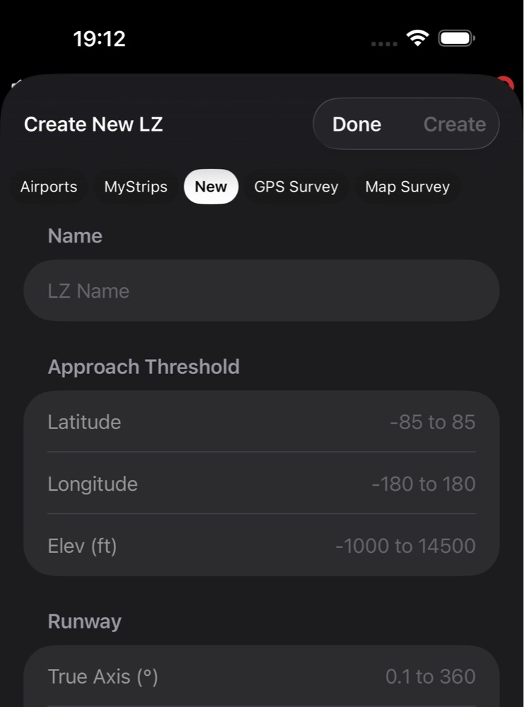
New: manual entry of threshold latitude, longitude, elevation and runway axis, length, width and slope 03 · NEW

Type in the numbers

Already have surveyed data? Enter the approach threshold's latitude, longitude and elevation, then the runway's true axis, length, width and slope. Tap Create and it's saved.

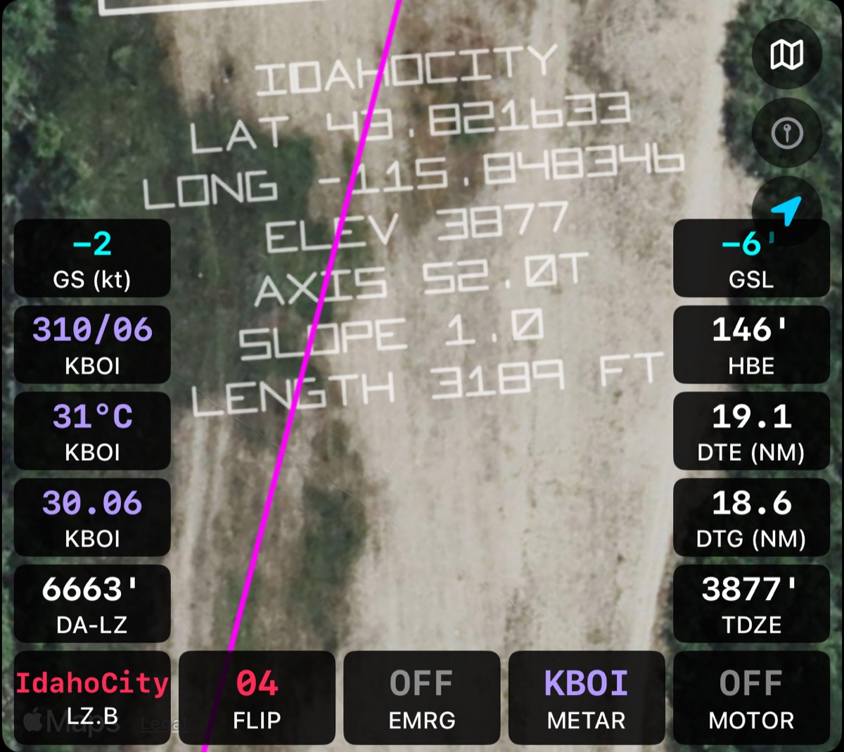
Map zoomed in on a custom strip, with its name, coordinates, elevation, axis, slope and length written at the runway end
Then it's a real runway

Saved to MyStrips. Ready for everything TLAR does.

  • Takeoff and landing numbers for its real length, slope and surface.
  • Runway geometry drawn on the Map, HSI and HUD, with approach guidance to the end you choose.
  • Emergency Glide and terrain work there too. Expert can download 1 m terrain and tree data for your strip.
  • Share it with another TLAR pilot in a couple of taps (Pro).

Check your survey. TLAR treats every MyStrips runway as precise, but it can't verify what you entered or marked. Before you rely on one, check its endpoints, approach end, direction, elevation, length, surface and obstacles.

Read the Pilot Guide
TLAR Expert · Close-in obstacles

Trees off the end of the strip? TLAR has measured them.

With high-resolution terrain and tree data on your device, 1-meter lidar where it's available, TLAR scans the ground beyond both runway ends and shows you where your approach and departure are clear, and where they aren't.

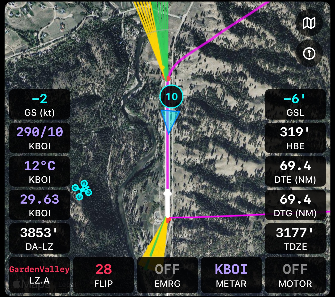
Map tile at Garden Valley with green and yellow obstacle fans spreading from both runway ends
Obstacle fans on the Map. 31 lanes spread from each runway end, 30° left to 30° right. Green clears the terrain and trees. Yellow is inside your safety margin. Red means something is in the way.
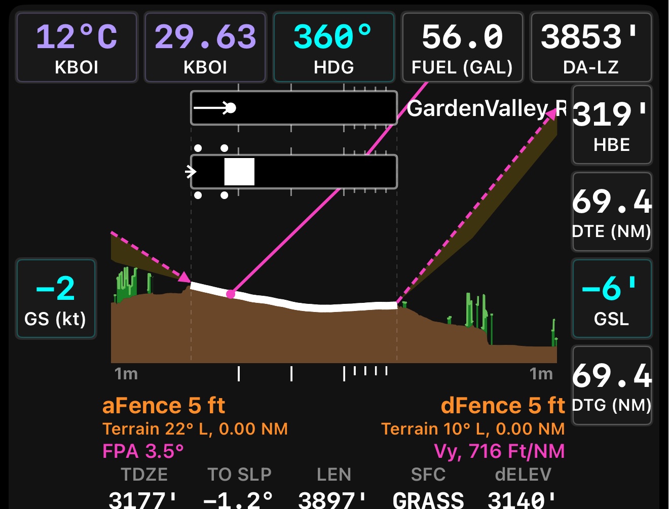
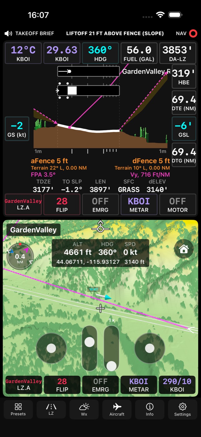
Vertical Profile tile: side view of the Garden Valley runway with terrain in brown, trees in green, and the approach and departure paths
Vertical Profile. A side view of the runway with bare ground in brown and tree canopy in green, your approach and departure paths, and the fence height each end needs.
3D Terrain obstacle mode showing approach and departure surfaces over the terrain 01 · AUTO FENCE

Fence heights that are computed, not guessed

In every lane, TLAR compares the terrain and the trees with your approach path and your climb path. From that it works out the fence height you need at the approach end and the departure end, and feeds those into your takeoff and landing numbers. Choose the best lane, the centerline, or the worst case.

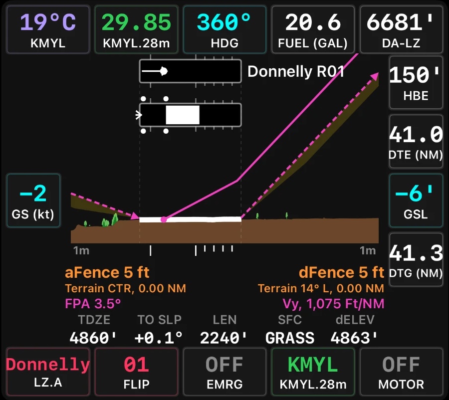
Vertical Profile at Donnelly showing TO SLP, runway length and surface 02 · REAL RUNWAY SLOPE

The slope where your wheels actually are

A runway's average slope hides its humps and dips. With high-resolution terrain, TLAR uses the slope of the part of the runway you'll actually use: the ground run on takeoff and the braking segment on landing.

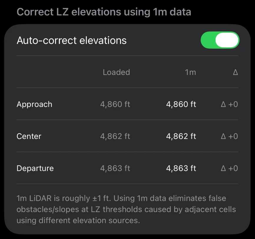
Auto-correct elevations setting comparing loaded and 1 m elevations at the approach end, center and departure end 03 · ELEVATION CORRECTION

GPS altitude, corrected on the runway

While you're stopped on the runway, TLAR compares your GPS altitude with the 1 m elevation directly under the airplane and applies a correction when one is needed. You'll see it beside GSL, for example “GSL (+9).” It can also correct a runway's stored end elevations to match the 1 m data.

Know what the data covers. Coverage and resolution vary by location, and 1 m data isn't available everywhere. Tree heights come from a canopy dataset. Neither dataset includes wires, towers, buildings or fences, so look at the actual runway environment before you rely on a fence value.

Included with TLAR Expert
Make it yours

A cockpit display that fits your flying.

Choose from 20 tiles and arrange them in the layout that suits each phase of flight. Then flip any tile over and pick the chicklets around its edges: the small readouts and buttons you want within reach. Choose the color palette that reads best in your cockpit's light. Save up to five presets and switch the whole dashboard with one tap.

Mixed layout
Mixed
Map plus two layout
Map + Two
Dual Quad layout
Dual Quad
Eight Pack layout
Eight Pack
Full Screen map layout
Full Screen
Dashboard in the Black on White color palette
Black on White
Dashboard in the Green on Black color palette
Green on Black
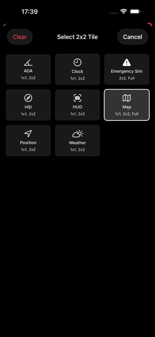
Tile picker for a two-by-two position
Pick a tile
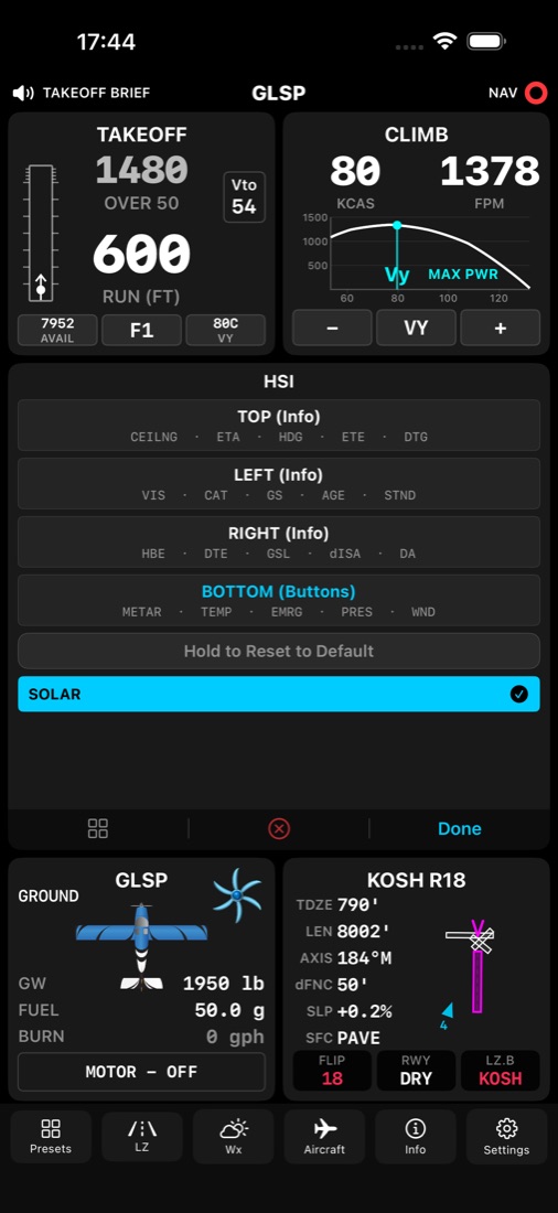
Back of the HSI tile showing its top, left, right and bottom chicklet rows
Flip it over
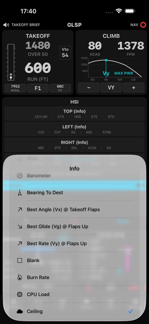
Chicklet picker listing the chicklets available for a position
Pick a chicklet
62

Info chicklets

Live readouts you place along the top and sides of a tile.

Examples include:

Density altitudeGround speedWindDistance to goETEFuelGross weightRunway slopeCeilingFlight categoryV-speedsG load
26

Button chicklets

Controls you place along the bottom, to change a mode or a source with one tap.

Examples include:

Flip runwayLZ modeFlapsBrakesRunway conditionClimb modeCruise modeWeather sourceSTOLEmergency
3

Color palettes

Pick the palette that's easiest to read in your cockpit's lighting. It changes how the dashboard looks, never the numbers behind it.

White on Black Green on Black Black on White

You decide where each one goes

Tap a tile to flip it over, tap a position on any edge, and choose the chicklet you want there. Every tile can be set up differently, and your choices are saved with your presets.

Which tiles and chicklets you can pick depends on your plan.

Plans

Start free. Add what you want.

Each level keeps everything from the one before it.

Basic (free)

The core performance numbers for your airplane.

8 tiles32 chicklets
  • Takeoff and Land tiles
  • Climb and Cruise tiles
  • HSI
  • Aircraft, Position and Clock tiles
  • Selectable units (knots, mph, gallons, liters etc)

Pro ($1.99 USD / mo)

Real runways and live weather, on a moving map.

15 tiles76 chicklets

Everything in Basic, plus

  • Moving Map
  • Global runway database
  • Automatic METAR downloads
  • Runway and Weather tiles
  • Smart TOLD and Smart Climb/Cruise
  • V-Speeds and Debrief
  • Share landing zones and presets
  • Send situation reports
Includes Emergency Glide

Expert ($3.99 USD / mo)

Emergency glide, 3D terrain and your own airplane model.

20 tiles88 chicklets

Everything in Pro, plus

  • Emergency Glide: live, terrain-aware turnback and glide guidance
  • Emergency Sim to plan and rehearse it
  • 3D Terrain and Vertical Profile
  • Terrain and tree data, down to 1 m lidar
  • AUTO Fence and obstacle analysis
  • HUD and AOA
  • NEXRAD radar (USA)
  • Build and share custom aircraft
  • Telemetry, X-Plane and OnSpeed integration

Subscribe inside the app. Cancel anytime, manage subscriptions in iOS settings.

ThatLooksAboutRight
Where the name comes from

In military aviation, “TLAR” is what you say with a thumb held up like a gunsight: that looks about right. It means an estimate that's good enough to be useful.

We grew up in military aviation, with solid performance manuals for every airplane. Then we started flying the backcountry of Idaho, Nevada, Oregon, Utah and Colorado, and found that many GA handbooks, especially for experimental aircraft, didn't give us the numbers we needed. So we built TLAR to put real physics behind the thumb.

More about TLAR

Stop guessing. Start flying with numbers.

Download TLAR free on the App Store. Want release news? Email to join the TLAR status list. We won't share your info or send spam. Read the Pilot Guide →
Get TLAR